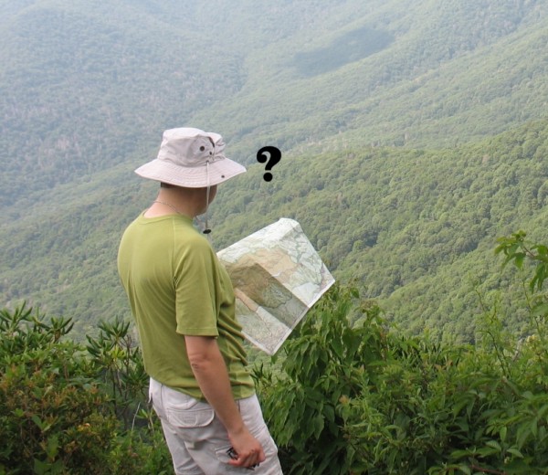
It is sensible to carry a foldable paper map as a reliable backup to your GPS device when hiking in an unfamiliar wilderness.
Our experience is that not all trail maps are created equal.
Here are a few of our thoughts after traveling countless trail miles over the years and examining their accuracy –
First Choice: Maps printed by the US Government
Outdoor Herbivore’s first choice among hiking maps is the USFS (United States Forest Service) maps. These maps provide an accurate summary of each trail (main features, distance, and level of difficulty), topography (switchbacks/terrain, elevation, stream/creek locations), as well as any trail crossing (gates, bridges, streams). Also, most of the physical maps are coated with a waterproof finish, making them durable for inclement weather. If you understand how to use a map, it is nearly impossible to get lost using these maps.
The US Geological Survey (USGS) maps are another excellent option, especially for wilderness areas managed outside of national forests, such as BLM lands and National Parks. These have a 1:24,000 scale, allowing for maximum topographic detail, and you can print these as a pdf for free.
Last Choice: National Geographic “Trails Illustrated” maps
Our experience with National Geographic “Trails Illustrated” maps is that they are often inaccurate. When relying on these maps in an unfamiliar area, you might get LOST.
Going the wrong way is not always a big deal. Sometimes drifting off course can create a fun side adventure, but it can also ruin a hiking trip if you have limited time to spare.
For instance, on a past backpacking trip to Colorado’s Rio Grande National Forest, there was no USFS map. Thus, we woefully resorted to the Trails Illustrated map, which failed to mention a sharp left turn through a livestock gate to continue on the correct trail. If you fail to turn and continue straight, the path turns into a Forest Road, which is also not printed on the map! However, knowing these maps are inaccurate and often leave out key details, we continued trekking on…Unfortunately, we had spent several miles hiking an incorrect trail once we realized the topography did not match the map. Clearly, a single omission can set you back hours and ruin a backpacking trip.
In summary, The National Graphic maps are not suitable for serious hiking in remote wilderness areas. They are adequate for providing a general overview of the landscape and terrain, which may inspire you to explore. Accurate printed maps are produced by USFS and USGS.
Happy Trails!