Looking for a new place to hike, run, or cycle? Here’s a list of our favorite sites and apps to direct you to nearby wilderness trails.
Maps
The United States is home to some of the world’s most rugged and remote long-distance hiking trails. These trails, with their diverse and stunning landscapes, are a magnet for hikers from all corners of the globe, promising an unforgettable adventure. The ‘triple crown’ of trails, a term used to refer to the three most popular long-distance hiking routes in the U.S., includes the Appalachian, Continental Divide, and Pacific Crest trails. These trails, each with its unique challenges and rewards, are a significant part of the long-distance hiking culture in the U.S. Your choice of trail should align with the type […]
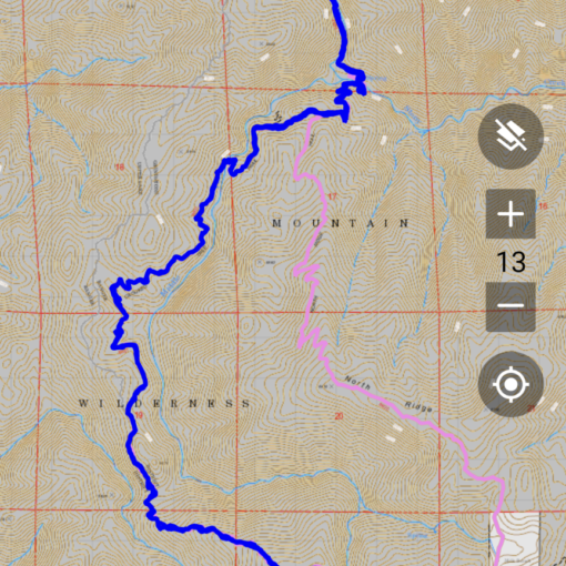
Knowing how to read a topographic map is an essential skill for navigating the backcountry. Make sure you understand how to follow a topographic map before your hike — especially if you plan to be in a remote area. Here we’ll cover the basics and provide some online sources for finding topographic hiking maps. We will also feature some external sites that teach map skills & orienteering in greater detail. What is a Topographic Map Topographic maps render the three-dimensional ups and downs of the terrain on a two-dimensional map. The topographic map shows a cross-sectional view of the terrain, known as a topographic profile. […]


